Oil · Gas · Minerals
Turning signals
into value.
MicMak helps oil, gas and mining operators find more, faster. We bring proven subsurface and production technologies that locate new targets, de-risk drilling and get more out of existing assets. Partner technologies that help you focus exploration before committing to costly field work and drilling.
Latest insightGhana onshore: screening frontier basins and covered gold belts →What we deliver
Outcomes first. Technology second.
We work with operators across the Middle East, Africa and Central Asia. We start from the result you need, then match the technology to it. Every project is scoped around these four outcomes.
Find targets faster
Screen large areas quickly and narrow them to the ground worth a closer look, before field crews mobilise.
De-risk drilling
Go to the drill bit with a ranked list of targets, their likely depth and the structures around them.
Lower cost and time
Spend field and drilling budgets on the most promising ground first, with a smaller footprint on site.
More from existing assets
Production and operations technologies that help get more out of fields and plants already running.
Insights
How we'd approach real basins, from public information.
Independent analyses built only from publicly available sources, each with a full reference list.
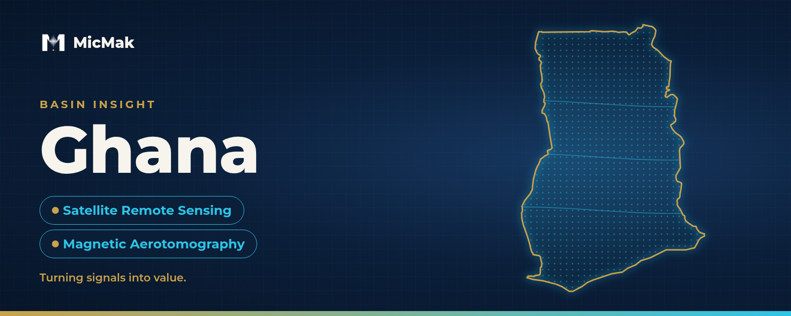
Ghana Onshore: Screening Frontier Basins and Covered Gold Belts
Ghana faces two exploration problems at once. Where should the next exploration dollar go, and where should the next well or drill hole be placed? We look at the frontier Voltaian Basin and the covered Birimian gold belts, from public sources only.
Based solely on publicly available information.
Read the Basin Insight →More analyses to follow
Further public-domain Basin Insights across the Middle East, Africa and Central Asia.
Insights
How we write them, our disclaimer and how we cite sources.
Go to Insights →Technologies
Proven partner technologies, matched to each project.
We work with a portfolio of proven partner technologies and pick the one that fits the question. Two examples that work together for solid minerals: Satellite remote sensing screens a very large area. Drone magnetic aerotomography then zooms in on the best zones with a much finer grid.
Satellite Remote Sensing
Know where to look before you drill.
- Screen a whole licence area from orbit
- Target locations with estimated depth and thickness
- MicMak states a study needs no field crews on site
Magnetic Aerotomography
Map mineral targets in detail, from the air.
- Narrow the exploration area within an anomaly
- 3D model of the bodies below the surface
- Drone efficiency, aiming at ground-survey accuracy
Beyond exploration
Our portfolio also covers producing assets and operations:
- Process simulation and operator training
- Production chemicals
- Pipeline integrity
How we work
Start small, on ground you know.
- 1
Tell us the target
What you're looking for, where, and what you already know about the area.
- 2
We match the technology
A call to present the best-fit technology for your target, step by step, including where it won't work.
- 3
Trial on known ground
Where useful, start with a small trial on ground with existing data, so you can compare results with what you know.
- 4
Phased study
A commercial study of your focus area with agreed phases, milestones and delivery timeline.
Talk to us
Tell us what you're looking for.
The target, the area and the stage you're at are enough to start. We'll come back to you within one working day.